
The European Space Agency’s (ESA) Earth Observation for Sustainable Development Climate Resilience Cluster (EO4SD CR) has released a new brochure providing an overview of its work with the International Fund of Agricultural Development (IFAD). Earth Observation (EO) data and climate risk information were provided to support the design of the fund’s ‘Restoration of Landscapes and Livelihoods’ project in Lesotho. The project identifies sites for transformative landscape restoration investment to enhance the resilience of ecosystems and communities alike.
Click here to download the brochure
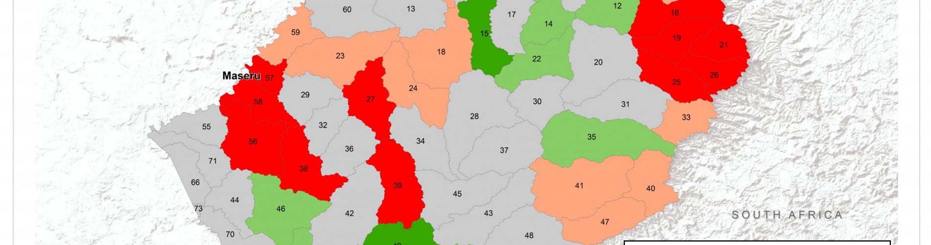
The brochure describes how the EO4SD CR cluster supported IFAD by providing soil erosion and wetland products to assist the prioritisation of sites for landscape restoration investments in Lesotho. This led to the generation of two EO-derived products: soil erosion rate maps and wetland mapping and monitoring maps.
Soil Erosion Mapping: Lesotho experiences amongst the most severe rates of soil erosion in the world. Understanding the long-term change in the rate of soil erosion can help decision-makers understand patterns and trends of erosion-related risk and identify areas prone to higher rates of erosion. The Cluster leveraged satellite-derived data to analyse soil loss at different periods, enabling identification of anomalies and hotspots at a national scale. Data were classified to show the average rate of soil erosion in different areas, enhancing the ability of decision-makers a to target interventions according to decision-relevant administrative units.
Wetlands Mapping and Monitoring: Wetlands in Lesotho have come under increasing pressure due to a combination of human and climatic factors. Yet healthy, well-functioning wetland ecosystems are not only necessary to maintain biodiversity, sustain populations, and mitigate flood risk, but they also help sequester carbon from the atmosphere. Recognising this, IFAD launched a programme to promote the adoption of transformational land management practices among Lesotho’s rural communities. As a contribution to this, IFAD solicited the Cluster’s support to help assess trends in Lesotho’s wetlands. The ‘Wetlands Mapping and Monitoring’ product comprises maps that depict the evolution of permanent and temporary wetlands at the sub-catchment level. Using this product, IFAD can assess where wetlands are least resilient to climate variability and identify communities at risk, enabling transformative resilience interventions that improve land and wetland management for the benefit of future generations.
The EO4SD CR cluster provides insight about the potential of Earth Observation (EO) data to support climate-resilient decision making at the regional and national scale. In collaboration with several International Financial Institutions, the EO4SD CR cluster has developed EO-based screening and risk management products that can be integrated into different platforms and project cycles.
Other summaries of EO4SD CR projects can be found here.