
The European Space Agency’s (ESA) Earth Observation for Sustainable Development Climate Resilience (EO4SD CR) has released a new brochure providing an overview of its work supporting the African Risk Capacity’s (ARC). ARC has applied EO data to support its efforts to help African governments improve their capacities to plan for, prepare for, and respond to extreme weather events and natural disasters.
Click here to download the brochure.
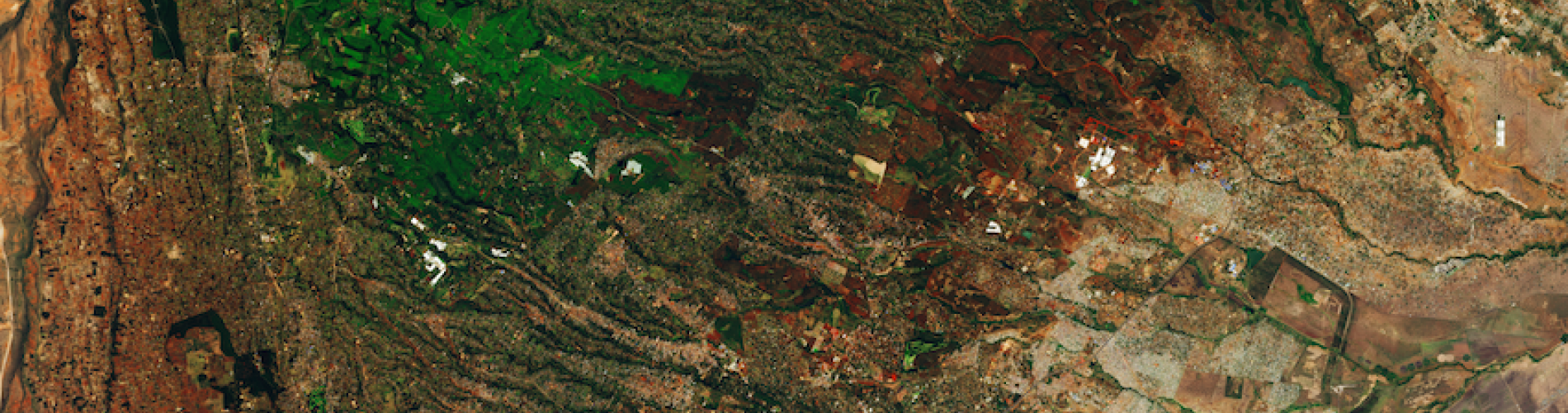
The brochure describes how the EO4SD CR cluster supported ARC’s Africa RiskView (ARV) tool, combining EO data and population vulnerability data to create an early-warning model that measures food insecurity as well as estimating response costs, helping decision-makers to make early and effective interventions. This included making a on-demand flood mapping service called Flood Mapper that uses EO data to enhance the pan-African Flood Extent Depiction (AFED) service.
The EO4SD CR cluster provides insight about the potential of Earth Observation (EO) data to support climate-resilient decision making at the regional and national scale. In collaboration with several International Financial Institutions, the EO4SD CR cluster has developed EO-based screening and risk management products that can be integrated into different platforms and project cycles.
Other summaries of EO4SD CR projects can be found here, as well as a webinar series outlining how different EO data products have been used and hands-on guided sessions on how to use the different data platforms.
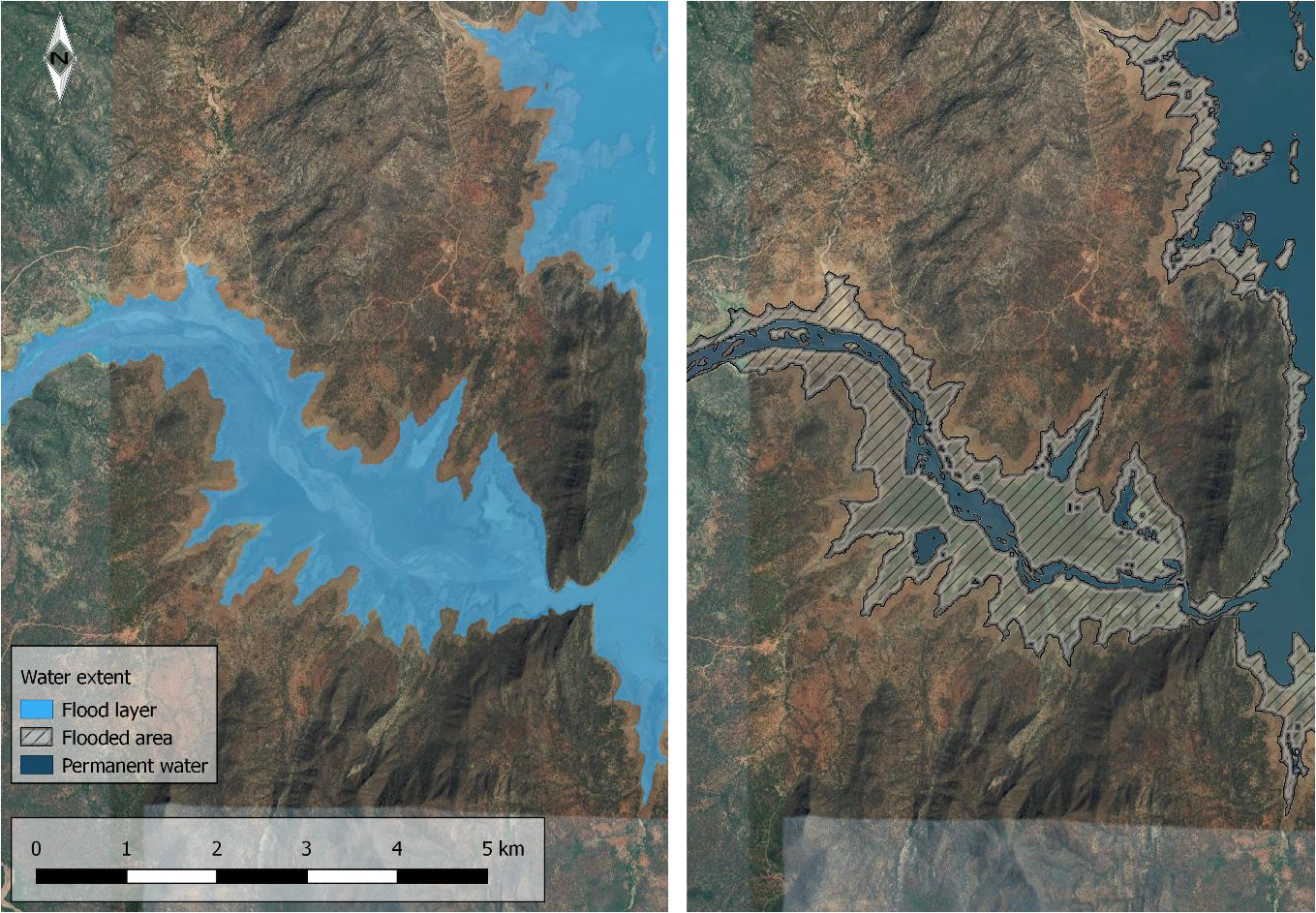
Image: Example of a flood plain near Lake Turkwel (Kenya). Flooded area (left) and the flooded area extracted from the permanent water extent (right). The flood extent mapping provides information on the total water covered area (binary water/ non-water map). By taking away the permanent water bodies from that water map, the areas that are temporarily flooded can be identified (hatched). This flood product also provides a direct comparison of the EO4SD Flood Map with the AFED Flood Map as well as statistical information on flooded land cover. Source: Geoville